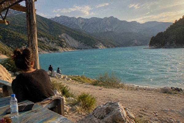
Lake Bovilla: The Reservoir Hike Above Tirana
Lake Bovilla is Tirana's drinking-water reservoir, tucked into a limestone canyon about 61 minutes and 21 km by road east of the city, with a trail up Gamti Mountain to a viewpoint above the water.
Short answer
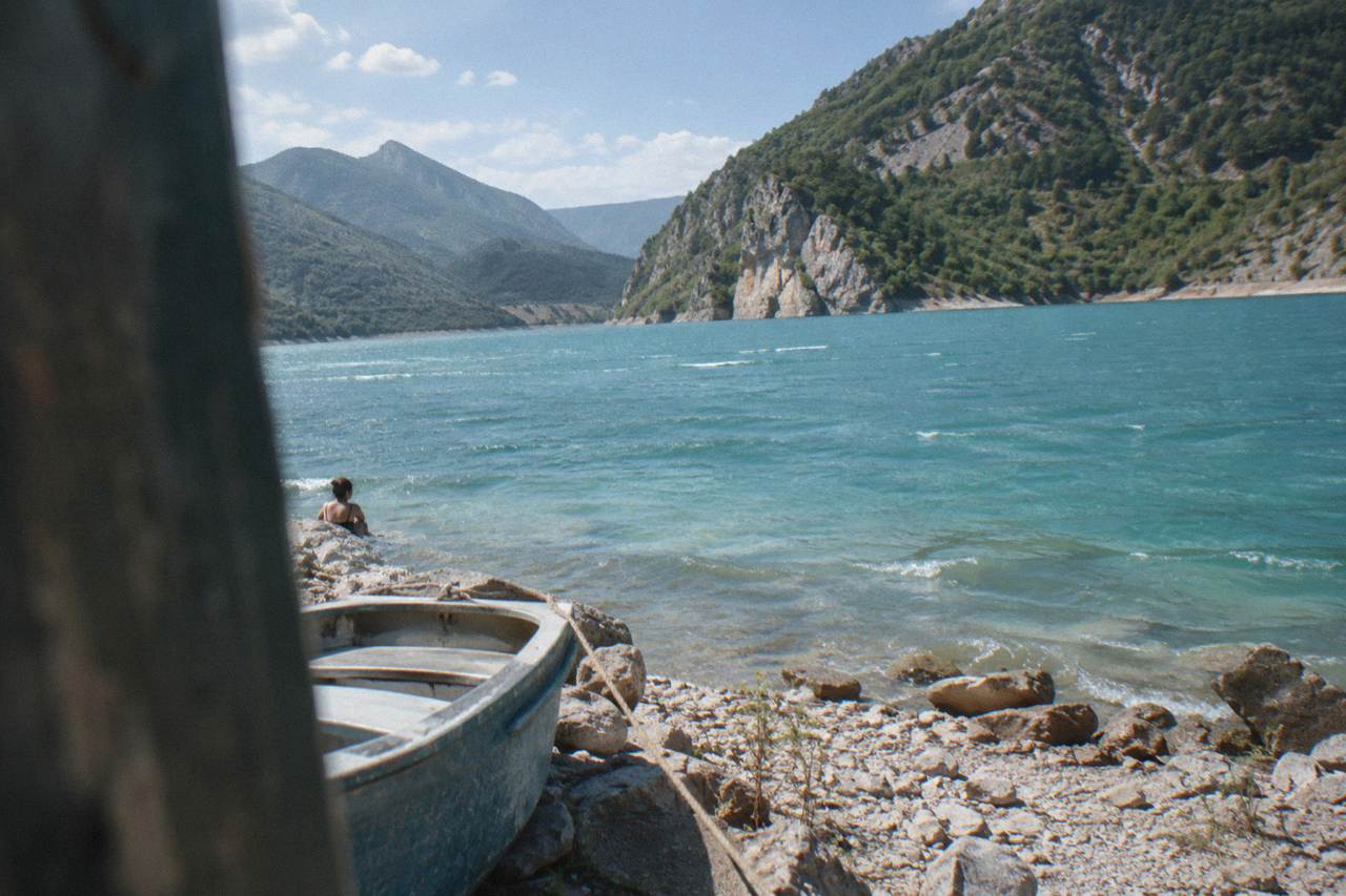
Lake Bovilla is about 61 minutes and 21 km by road from Skanderbeg Square in Tirana. It is a reservoir, not a swimming lake, and the main activity is the hike up Gamti Mountain to a viewpoint over the green water. No entry fee or opening hours are published for the site, so confirm locally before setting out.
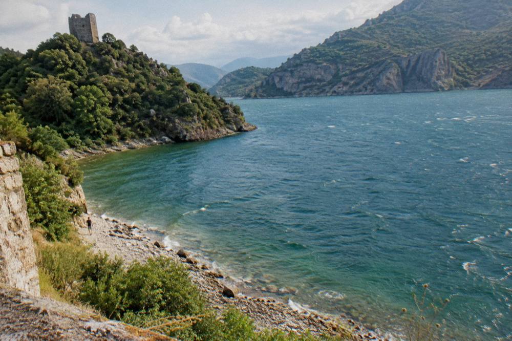
Lake Bovilla is the reservoir that supplies Tirana, the inland capital of Albania, and it sits in a limestone canyon about 61 minutes and 21 km by road east of Skanderbeg Square. The water runs a startling green-blue against pale cliffs, and the ridge of Gamti Mountain rises directly above the southern shore. There is no lakeside promenade and no beach infrastructure: Bovilla is a raw, half-wild corner of the Dajti highlands that has become one of the most photographed short escapes from the city. This page on the Tirana Albania Travel Guide covers the drive, the trail, the seasons and how Bovilla compares with the other half-day and full-day options around the capital.
Where Is Lake Bovilla And How Far From Tirana?
Lake Bovilla lies about 21 km east of Skanderbeg Square in Tirana, roughly 61 minutes by road, at the head of the canyon where the Erzeni river was dammed to create the city's drinking-water reservoir. It is not on any public transport line, so the trip is made by car, taxi or an organised tour, and the last stretch of road is narrow and winding as it climbs into the hills above the village of Bovilla.
The reservoir sits behind the Dajti massif, close enough to the mountain that the Dajti cable car skyline of the city feels far away within an hour of leaving it. Tirana itself sits in a basin at the foot of Mount Dajti, and Bovilla occupies the next valley system to the north-east, drained by the Erzeni. The dam and the water treatment plant at the lake are municipal infrastructure first and a sight second, which is why there is no formal visitor centre, no published opening hours and no published entry fee anywhere official. Visitors confirm arrangements locally, either with a taxi driver or a tour operator.
The drive leaves the city on the arterial road towards the north-eastern outskirts, passes through suburban Tirana and then climbs into scrubby hills. Road quality on the final approach varies, and after rain the track to the trailhead can be rough. For anyone weighing this against other escapes, the guide to hiking near Tirana collects the full set of trails, from Grand Park loops to Pellumbas Cave, which lies about 47 minutes and 26 km by road from the square in a neighbouring valley.
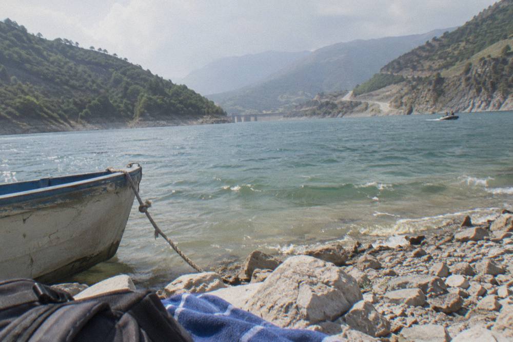
For context, here is how Bovilla sits among the nearer day-trip drives from Skanderbeg Square, all measured as road times:
| Destination | Distance by road | Drive time |
|---|---|---|
| Petrela Castle | about 14 km | about 22 minutes |
| Durres, on the Adriatic coast | about 37 km | about 39 minutes |
| Kruja | about 37 km | about 45 minutes |
| Pellumbas Cave | about 26 km | about 47 minutes |
| Elbasan | about 40 km | about 42 minutes |
| Lake Bovilla | about 21 km | about 61 minutes |
The pattern is instructive: Bovilla is the second-shortest distance on the list but among the longest short drives, because the final kilometres are slow mountain road rather than motorway. That is worth knowing when planning a morning departure.
What Is The Hike Up Gamti Mountain Like?
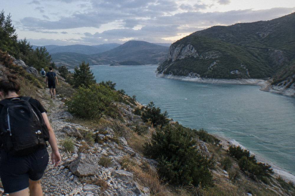
Gamti Mountain is the ridge on the southern side of Lake Bovilla, and the trail to its viewpoint is a steep, unpaved path of roughly an hour to ninety minutes each way, depending on pace, ending at a rocky outcrop that looks straight down on the green reservoir. The path has no signage infrastructure to speak of, no water points and no railings, so sturdy shoes, water and a offline map or a local guide are the standard preparation.
The classic route starts near the dam end of the lake and climbs through macchia scrub and loose limestone before topping out at the viewpoint. The reward is the signature Bovilla image: the reservoir folded between pale cliffs, its colour shifting with the light between emerald and deep blue. The terrain is dry and exposed, with almost no shade, and the footing is loose stone on the steeper sections. Trail length and difficulty claims circulate freely online, but no official trail data exists, so treat any specific figure as approximate and go prepared for a proper mountain walk rather than a park stroll.
Because there is no public transport and no marked trailhead facilities, the practical choice for visitors without a car is a guided day tour. The Bovilla Lake and Gamti hike tour runs from Tirana with transport and a guide included, covering the trail and time at the water in one booked package. For independent travellers with a rental car, the answers page on whether Lake Bovilla is worth visiting weighs the effort against alternatives like Pellumbas Cave and Petrela Castle.
The Bovilla tour above is the direct option; the other two pair naturally with it, since a morning on the mountain and an evening cooking class or bar crawl makes a full Tirana day. Visitors who prefer to browse everything at once can start from the things to do in Tirana overview and drill down from there.
Can You Visit Lake Bovilla Without A Car?
There is no public transport to Lake Bovilla, so the car-free options are a guided tour with hotel pickup, a taxi arranged and waited for by agreement, or a rental car driven on the roughly 61-minute road from central Tirana. The intercity bus network does not serve the reservoir, and no ride-hailing service of the kind found in bigger capitals operates a reliable mountain run from the city.
Uber and Bolt do not operate in Tirana at all, and the local taxi apps that do exist are built for city trips rather than mountain waits. A taxi can be hired for the round trip with a waiting time agreed in advance, and that is a common arrangement for a half-day excursion. The safer budget of time is half a day door to door: about an hour out, two to three hours for the trail and the viewpoint, and about an hour back.
The organised alternative removes the negotiation entirely. A guided tour handles the trailhead approach, which matters because the final road is where independent plans most often go wrong, and adds a guide who knows the path up Gamti. For a different flavour of the same countryside, the Petrela Castle day trip runs to a castle hill about 22 minutes by road from the square and can be combined with Bovilla in one long day by car, since the two lie in adjacent valleys south-east and east of the city.
For comparison, here is how the main ways of reaching Bovilla stack up:
| Option | Public transport | Best for | Main constraint |
|---|---|---|---|
| Guided day tour | no | Car-free visitors | Fixed group schedule |
| Rental car | no | Independent itineraries | Rough final road |
| Taxi with waiting time | no | Small groups, flexibility | Price agreed in advance |
| City bus then walk | not available | not practical | No line serves the lake |
What Should You Bring For The Bovilla Trail?
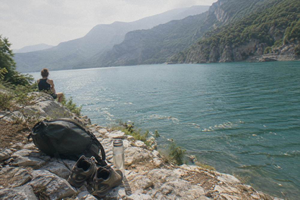
The essentials for Gamti Mountain are sturdy closed shoes with grip, at least a litre of water per person, sun protection, and a offline map or guide for the trail itself, because the path is exposed, unsigned and dry for its whole length. There are no shops, no water points and no toilets at the trailhead or along the route, so everything carried in has to be carried out.
The exposure is the detail that surprises visitors. The ERA5 reanalysis for Tirana, 1991-2020, puts the July mean daily high at 29.8 C and August at 30.4 C, and the trail reflects that heat with no shade to break it. A start before late morning makes the climb dramatically more comfortable. In the cooler months the January mean high of 10.8 C and mean low of 2.3 C suggest a walk that is cold at the viewpoint but perfectly doable in layers, and the same dataset shows November rainfall of about 139 mm, the highest monthly figure of the year, against about 31 mm in August. Wet limestone after autumn rain is slippery, and the loose sections get worse rather than better.
A short packing list for the trail:
| Item | Why It Matters At Bovilla |
|---|---|
| Closed shoes with grip | Loose stone and limestone on the steep sections |
| One litre of water per person | No water sources anywhere on the route |
| Sun hat and sunscreen | Almost no shade on the ascent |
| Offline map or guide | The path is not waymarked |
| Layer for the viewpoint | Wind on the exposed ridge, especially October to March |
| Rubbish bag | Nothing is sold there, so nothing can be bought to carry waste home in |
Swimming is worth addressing plainly: the reservoir is a drinking-water supply, not a designated swimming lake, and no authority promotes bathing there. Visitors who want a proper swim should plan the coast instead, which is covered in the Durres day trip guide, about 39 minutes by road west of the square.
When Is The Best Time Of Year For The Lake Bovilla Hike?
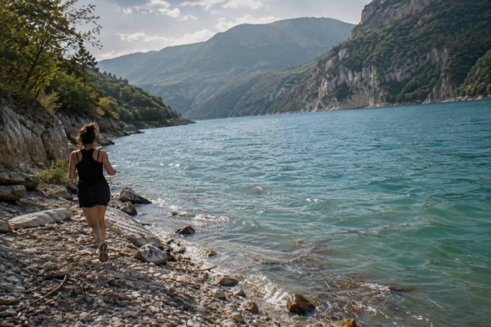
Late spring through early autumn is the main hiking window at Bovilla, with the ERA5 reanalysis for Tirana, 1991-2020, showing May mean highs of 22.7 C, June 26.9 C and September 25.7 C, while July and August push close to 30 C with rainfall of only about 34 mm and 31 mm a month. Winter walks are possible on dry days, but November and December, at about 139 mm and 138 mm of rain, are the least reliable months for the exposed ridge.
The shoulder seasons split the difference nicely. April combines a mean high of 18.4 C with about 105 mm of rain spread over the month, and October sits at 21.4 C with about 119 mm, so either can deliver a superb clear day or a sodden one, and the forecast matters more than the calendar. The reservoir's colour photographs well in the strong summer light, but the same light makes the middle of the day punishing on the climb, which is the practical argument for an early start or a guided morning departure.
The monthly picture, from the ERA5 reanalysis, 1991-2020, for the Tirana grid:
| Month | Mean high C | Mean low C | Rain mm |
|---|---|---|---|
| Mar | 15.0 | 5.1 | 117 |
| Apr | 18.4 | 8.4 | 105 |
| May | 22.7 | 12.5 | 89 |
| Jun | 26.9 | 16.6 | 51 |
| Jul | 29.8 | 19.1 | 34 |
| Aug | 30.4 | 19.5 | 31 |
| Sep | 25.7 | 16.0 | 99 |
| Oct | 21.4 | 12.2 | 119 |
One national-calendar note that interacts with any countryside plan: demonstrations have been held in central Tirana since 13 October 2026, some of them violent, and the UK FCDO updated its travel advice on 15 October 2026, advising visitors to avoid demonstrations and check local media. Bovilla itself is far from the centre, but road movement in and out of the city can be affected on protest days, so a check of local news on the morning of departure is simple prudence.
How Does Lake Bovilla Compare With Other Day Trips From Tirana?
Bovilla's edge is proximity and drama: it delivers a genuine mountain-and-water landscape in about 61 minutes by road, which none of the big-name destinations can match, while its weakness is the absence of infrastructure, since there are no cafes, no museum, no published hours and no bus. History towns like Kruja and Berat offer the opposite trade, full facilities at the cost of a longer drive.
Kruja, about 45 minutes and 37 km by road, pairs a castle and bazaar with an easy day out. Berat, a UNESCO-listed historic centre about 122 minutes and 125 km by road, is the strongest full-day cultural trip from the capital and deserves daylight rather than a rushed afternoon. Durres adds Roman ruins and the Adriatic beach about 39 minutes west. Bovilla belongs to a different category entirely, the outdoors category, alongside Pellumbas Cave and the mountain options covered in the hiking near Tirana guide.
| Day trip | Drive from the square | Character | Best suited to |
|---|---|---|---|
| Lake Bovilla | about 61 minutes | Reservoir canyon, Gamti hike | Outdoor walkers, photographers |
| Petrela Castle | about 22 minutes | Small castle hill, zipline | Short half-day, families |
| Pellumbas Cave | about 47 minutes | Cave and canyon trail | Walkers, caving curiosity |
| Kruja | about 45 minutes | Castle, bazaar, museum | History and shopping |
| Durres | about 39 minutes | Roman amphitheatre, beach | Coast and ruins together |
| Berat | about 122 minutes | UNESCO old town | Full-day culture trip |
The honest framing for the far destinations: Shkoder is about 118 minutes and 98 km by road, Ohrid about 135 minutes plus the North Macedonia border, and the Komani lake country about 187 minutes, so those are full-day commitments of a different order, covered in the Shkoder, Ohrid, Komani Lake and Pogradec guides. Bovilla is the half-day answer when the morning is free and the legs want work.
What Can You Combine With Lake Bovilla In One Day?
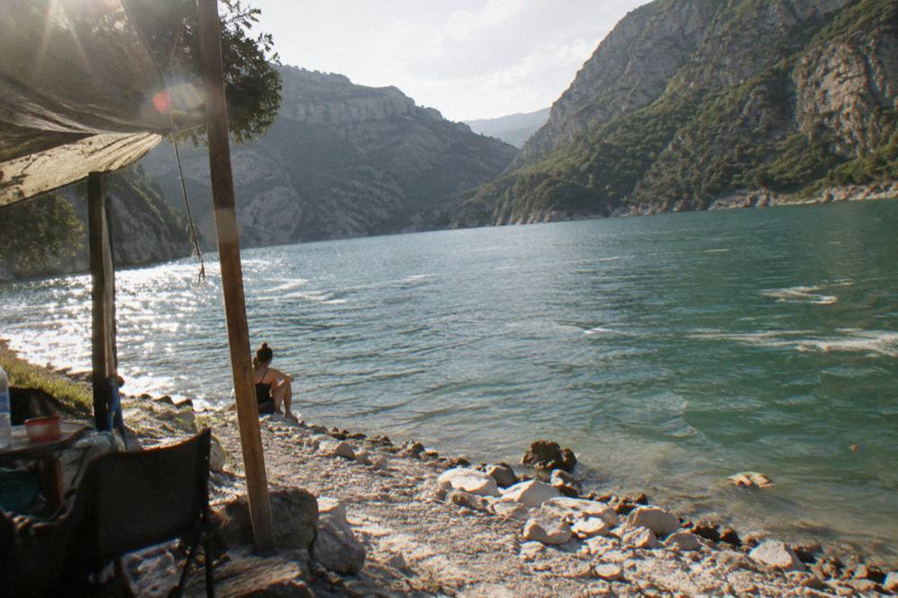
The natural pairing is Bovilla in the morning and the city in the afternoon, since the trail door-to-door eats about half a day, and Petrela Castle, about 22 minutes by road from the square, slots into the same driving day for anyone with a car. Guided Bovilla tours return to Tirana by early afternoon, which leaves time for a museum, a walking circuit of the centre or an evening food experience.
Back in the city, the options are dense. The Skanderbeg Square area alone holds the Et'hem Bey Mosque, the Clock Tower, with its roughly 90 steps, and the closed-for-restoration National History Museum, whose mosaic facade can still be seen from the square. Bunk'Art 1 sits behind the Dajti cable car lower station about 4.6 km north-east of the square and is open daily from 09:30, with tickets bought at the door since no price is published online. The Grand Park of Tirana, about 2.1 km south-east of the square, is the flat, shaded counterpoint to a morning spent climbing Gamti.
An evening in Blloku, the former insiders' quarter about 0.8 km south of the square and now the city's cafe and bar district, rounds out the day, and the Where To Stay In Tirana: Centre, Blloku Or Near The Lake guide maps the neighbourhoods against that plan. For a two-stop mountain day, the Mount Dajti National Park side of the massif can be reached by the Dajti Ekspres cable car, whose tickets are sold only at the lower station, per the operator's own page, which also advises arriving between 09:00 and 11:00 on busy national holidays.
Common Questions About Lake Bovilla
Is Lake Bovilla Worth Visiting From Tirana?
Yes, for anyone in Tirana who wants mountains, water and a short, real hike within about an hour of the capital. It is not worth the trip for visitors seeking facilities, a beach or a curated sight: the reservoir has no visitor infrastructure, and its whole appeal is the canyon, the colour of the water and the Gamti viewpoint. The full worth-it breakdown weighs both sides.
Can You Swim In Lake Bovilla?
The reservoir is a drinking-water supply for Tirana, and no authority promotes swimming there. Visitors wanting a swim should head to the coast, about 39 minutes by road to Durres, or plan an overnight to the southern beach towns, which are far beyond day-trip range.
How Long Does The Gamti Mountain Hike Take?
There is no official trail data for Gamti, and published times vary widely. Walking the trail to the viewpoint and back is commonly treated as a half-day outing including the drive from Tirana, and a guided tour with transport covers it in a single booked morning or afternoon.
Is There An Entry Fee For Lake Bovilla?
No entry fee or opening hours are published for the reservoir on any official page. Confirm arrangements locally, with a taxi driver or tour operator, before setting out, and carry cash in lek for anything bought en route, since cards are not reliably accepted outside the city.
Is The Road To Lake Bovilla Difficult?
The drive from Skanderbeg Square is about 21 km and 61 minutes by road, and the final stretch climbs on a narrow mountain road that deteriorates after rain. A normal rental car manages it in dry conditions with careful driving, and tour operators use vehicles suited to the track.
What Is The Best Month For Lake Bovilla?
The ERA5 reanalysis for Tirana, 1991-2020, shows the warm, dry stretch from June through August, with July and August rainfall of about 34 mm and 31 mm, but mean highs near 30 C make an early start advisable. May and September balance milder temperatures with lighter crowds, and late autumn is the least dependable period, with about 139 mm of rain in November.
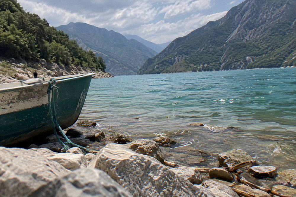
Bovilla rewards exactly one kind of visitor: the one who wants a short, steep walk and a big view without a long drive. Paired with a Petrela castle stop or a slow Tirana evening, it makes one of the most satisfying active days available from the capital.